
Fort Dodge Postal ZIP Coverage
The official sources checked for Fort Dodge confirm 50501 as the primary five-digit postal ZIP. They do not provide a current address-by-address boundary polygon, a complete citywide delivery table, or support for treating nearby numbers as additional Fort Dodge codes. The safe coverage statement is narrow: use 50501 as the first filter, then validate the exact street address through the Postal Service.
| ZIP or form | Area covered | Post office source | Research note |
|---|---|---|---|
| 50501 | Primary Fort Dodge postal area | USPS Fort Dodge listing | Verify every full address |
| 50501-9998 | Address-specific delivery segment | USPS location example | Not a second city ZIP |
| 50501-9300 | Address-specific delivery segment | USPS location example | Cannot be inferred from city alone |
| Other Webster County ZIPs | Surrounding or rural delivery areas | USPS address lookup | Not automatically within Fort Dodge |
The USPS Fort Dodge location page is the checked official source for the local post-office identity and displayed ZIP+4 examples.
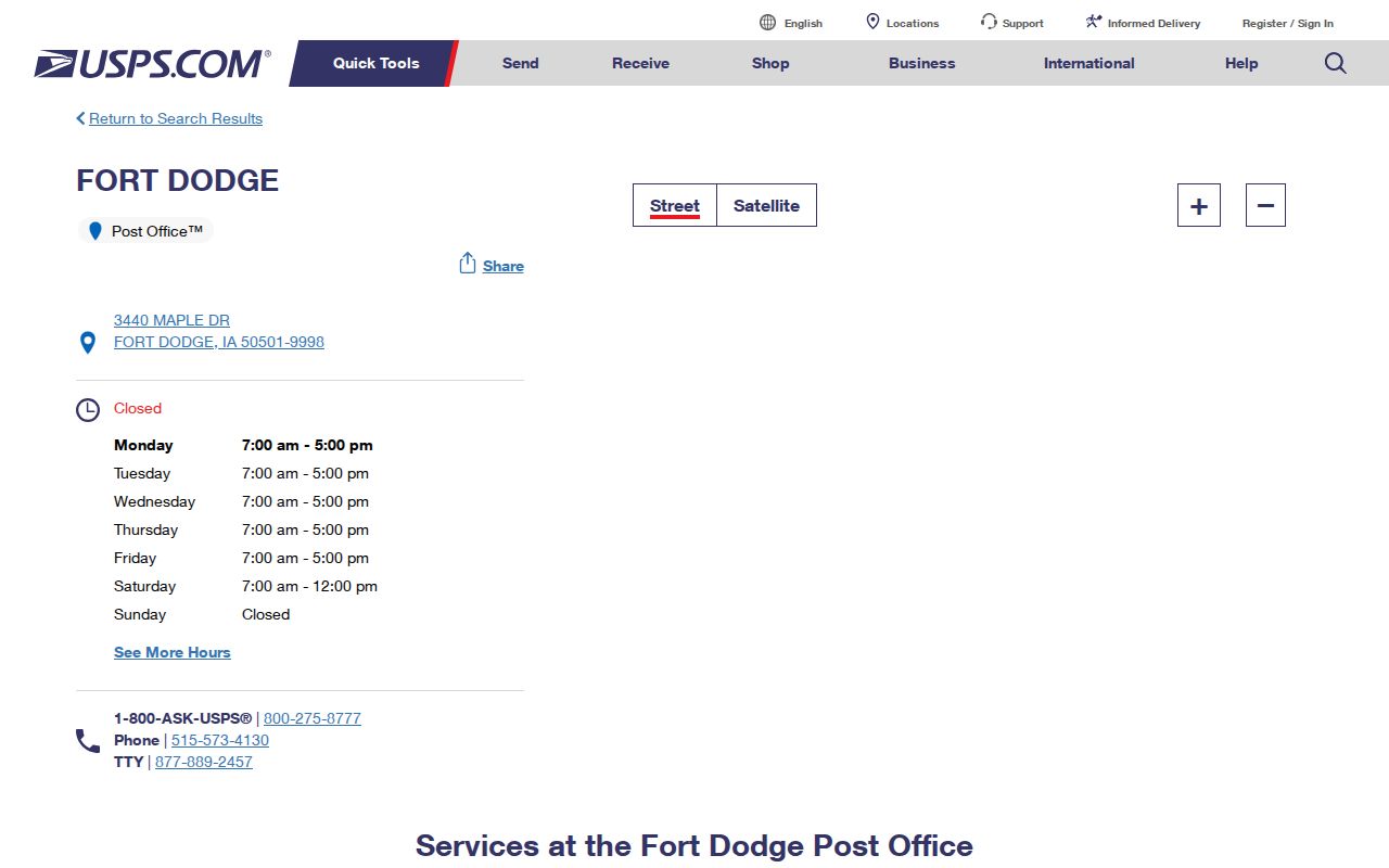
The image confirms the postal source, while the table keeps its scope separate from municipal and county map boundaries.
Verify a Fort Dodge ZIP
A city-and-state search can identify a broad ZIP, but the street-address route is stronger. Enter the street number, name, city, and state exactly as known. If USPS corrects the suffix, direction, or postal city, preserve both the submitted form and returned form in the research notes. The returned ZIP+4 belongs to a delivery segment and may change when the address or unit changes.
Use the official USPS ZIP Code Lookup before filtering another portal. It resolves mail delivery, not legal city limits, parcel ownership, or voting assignment.
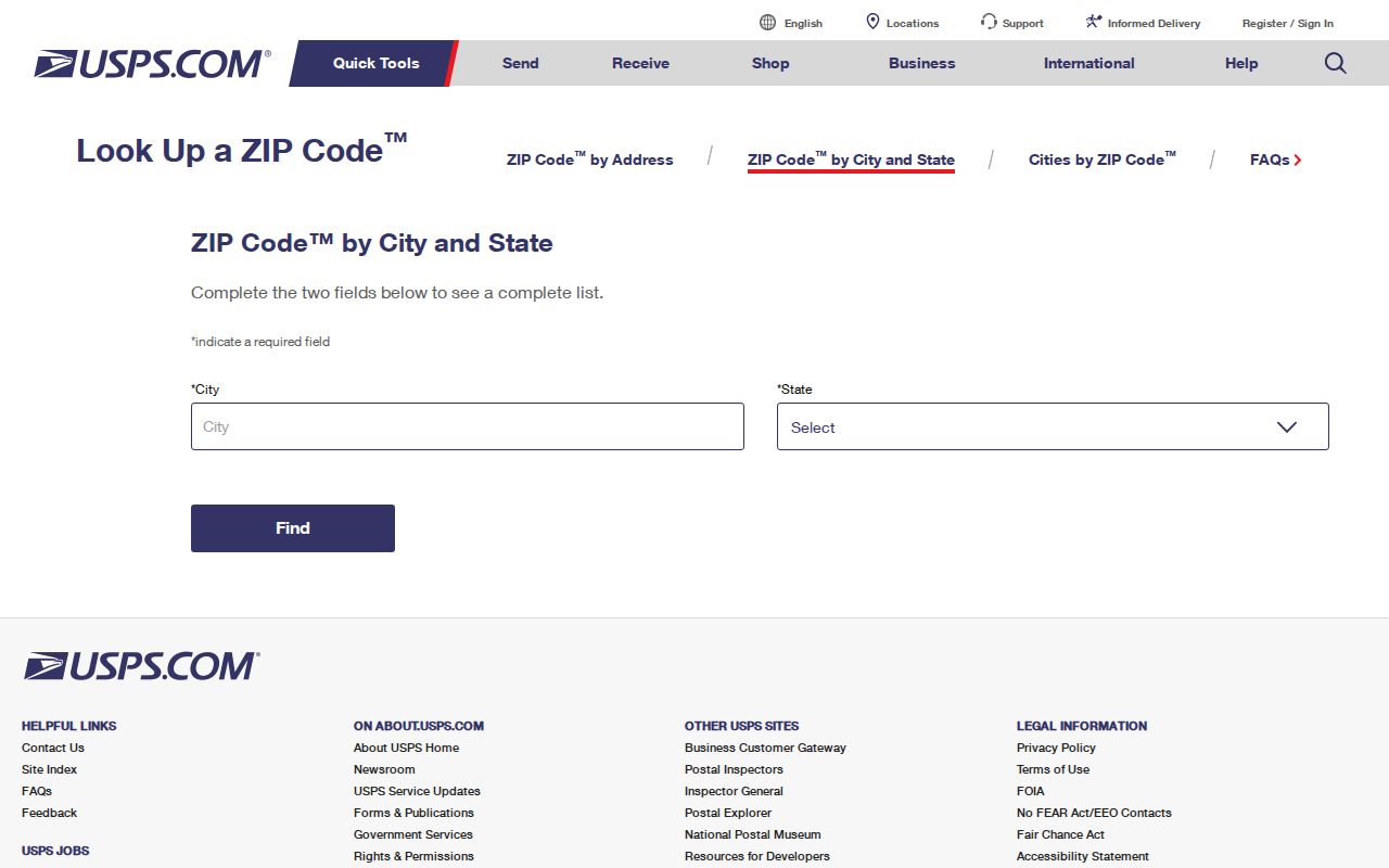
The lookup shown here should be paired with a parcel or precinct source when the question is about land or elections.
| USPS input | What it answers | What it does not answer |
|---|---|---|
| Street address, city, state | Delivery address and ZIP+4 when resolved | Parcel title or city boundary |
| City and state | Broad ZIP association | One address assignment |
| Five-digit ZIP | Postal place context | Current occupancy |
Find Fort Dodge Records by ZIP
The Fort Dodge ZIP code directory is a filter, not a resident roll. Once USPS validates the postal value, choose a source that matches the question. Beacon can test whether an address matches a Webster County parcel. The state voter lookup requires a person’s first name, last name, and five-digit ZIP. A formal voter-list request offers geographic selections but is governed by permitted-use rules.
- Validate the full delivery address and five-digit value through USPS.
- Search the Webster County Beacon portal by address, then save the parcel and situs details.
- For the person’s own election information, use the official name-and-ZIP voter lookup.
- Compare the parcel, postal city, and city-limit map before making a geographic claim.
- Once the result narrows to an address, use the Fort Dodge street directory for street-level records.
Beacon can also search by name, parcel ID, or alternate ID. Its result headings include parcel, alternate ID, address, ownership, city, area, state, ASV, reference number, and STR. Those are assessment and map clues. They are not title proof, and a mailing address can differ from the parcel’s physical, or situs, address.
Fort Dodge ZIP Voter Fields
Iowa’s current resident-facing election form makes ZIP part of a three-field identity check. The Iowa voter lookup requires first name, last name, and a five-digit ZIP. Its polling-place data is maintained through county auditors. A special election or stale assignment should be checked with the Webster County Auditor, not guessed from a map.
| Tool | ZIP-related field | Other fields | Result boundary |
|---|---|---|---|
| Resident lookup | Required five-digit ZIP | Required first and last name | Election and polling context |
| Formal list request | No free-form ZIP choice confirmed | State, county, city, school, or district selection | Permitted purpose only |
| Beacon parcel search | ZIP may appear in address context | Name, address, parcel ID, alternate ID | Assessment and parcel context |
The Iowa voter-list request page shows jurisdiction, status, participation, output, and requester choices.
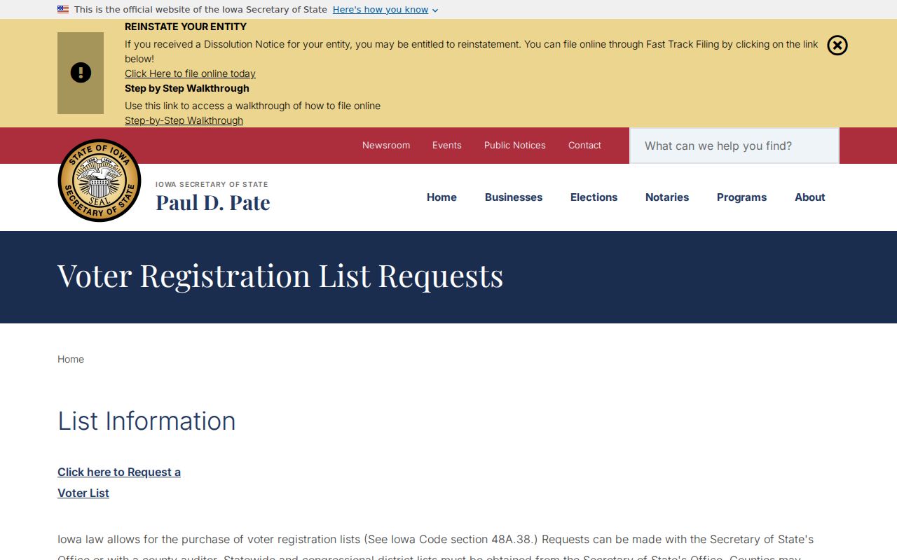
The form distinguishes a lawful jurisdiction request from a casual ZIP-wide people list. Iowa Code sections 48A.38 and 48A.39 restrict uses, and commercial use is prohibited.
Fort Dodge ZIP and City Limits
Four maps can describe the same Fort Dodge address differently. USPS defines delivery routing. A municipal map defines the corporate limit. Beacon supplies assessor and GIS parcel context. Election officials assign wards and precincts. School and county districts add more boundaries. None is a substitute for the others.
A post-office address may say Fort Dodge while the parcel sits outside the corporate line. A city parcel may carry a different postal label at an edge. The parcel’s mailing address can also differ from its situs address. County GIS PDFs are dated orientation aids and not surveys. The Iowa DOT city map is a transportation map, while Beacon is an assessment discovery tool.
- ZIP code
- A five-digit USPS mail-routing area, not a legal municipal border.
- ZIP+4
- A more precise delivery segment added to the five-digit ZIP.
- PO-box ZIP
- A postal code used for post-office-box delivery rather than a mapped neighborhood.
- Unique ZIP
- A code assigned to one high-volume organization; none was verified for Fort Dodge in this research.
- Carrier route
- A USPS delivery path within a postal area, not a resident boundary.
Note: Preserve a mismatch as useful evidence, then cite the source that verified the postal, parcel, city, or election geography.
Fort Dodge Precincts Aren’t ZIPs
Webster County precinct maps can contain Fort Dodge streets, township roads, and a polling location on one sheet. Fort Dodge also has four city wards, each with one ward council member, plus three at-large council members. Those civic units do not turn 50501 into a precinct or ward number.
The Webster County voter registration and precinct page links local election forms, maps, results, and the Auditor’s contact route.
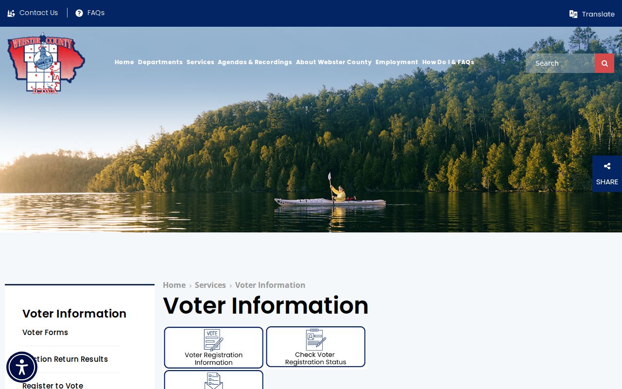
The county page is the better fallback when a current election assignment cannot be confirmed from the statewide lookup.
The Auditor and Commissioner of Elections is at 701 Central Avenue, Fort Dodge, with phone 515-573-7175 and posted weekday hours of 8:00 a.m. to 4:30 p.m. Ask the office about a special election or address correction. Use dated map PDFs for context, not as the final polling-place authority.
Older Fort Dodge Addresses
Historical Fort Dodge research often works without a modern ZIP. Old newspapers and directories may omit a postal code, use a rural route, or predate ZIPs. Do not append 50501 to a nineteenth-century record merely because a modern form requires five digits. Search the printed street, surname, business, and year first.
Library plat maps, the Library of Congress directory reel for 1923 through 1944, the 1912 Sanborn set, city maps, and Recorder legal descriptions can tie an old address to Fort Dodge. The strongest sequence is directory name and street, map sheet, newspaper date, then deed or town-lot record. Current USPS lookup belongs at the end if the goal is to identify today’s delivery label.
| Historic clue | Best next source |
|---|---|
| Street and house number | Directory street index and Sanborn sheet |
| Person or business name | Alphabetical directory and newspaper archive |
| Lot or legal description | Recorder, plat map, and State Historical Society holdings |
| No ZIP stated | Keep it unstated until a current address is separately verified |
Check Fort Dodge ZIP Results
A ZIP-wide result needs a short quality check before it becomes a claim. Confirm that the value is five digits, but do not reject an old record because it lacks one. Compare the USPS postal city with Beacon’s city and address fields. If they differ, retain both labels with their sources.
- Identify whether the question concerns mail, a parcel, city limits, a precinct, or another district.
- Verify the exact street address rather than assigning a ZIP from the city name alone.
- Use each portal’s own validation and record the date of the check.
- Treat a name-plus-ZIP match as one source-specific lead, not proof of occupancy.
- Call the controlling office when an online result or dated map cannot resolve the mismatch.
That discipline keeps the Fort Dodge ZIP code directory useful without overstating what postal geography can reveal. No official Fort Dodge ZIP-change chronology was found, and no current USPS boundary polygon was captured. Those gaps should remain visible rather than being filled with an unofficial map or assumed code.
When a portal rejects the address, change only one part at a time. First test the USPS form with the street suffix written out. Next try the standardized postal form in Beacon. Save the parcel ID if a match appears, because that identifier is more stable than a mailing label. For an election question, use the standardized five-digit value with the person’s own name, then contact the Auditor if no current assignment appears. A blank result may reflect spelling, a recent move, a protected record, a portal update, or the source’s coverage limit. It should not be reported as proof that the address or person does not exist.
Phone and office channels matter when a map is old or a dynamic search fails. The Webster County Assessor can explain parcel-card fields. The Auditor handles precinct and registration corrections. USPS controls mail assignment. City staff can answer corporate-limit questions from city-held maps or records. Keep each response labeled by office and date, since postal routes, assessments, and election boundaries may change on different schedules.