
Walk a Fort Dodge Street
Use the address as the fixed point. Preserve the spelling first supplied, even if a suffix seems wrong. The Webster County Beacon property search can turn that text into a parcel identifier. That identifier is more stable than a street label and helps connect the map, assessor row, transfer record, and legal description. The street directory trail then moves from current assessment context toward recorded title and dated evidence of occupancy.
- Search the full street number and name in Beacon. Try the original form before testing abbreviations.
- Confirm Fort Dodge, parcel ID, alternate ID, ownership label, and STR field. Note adjoining parcel IDs.
- Use the owner and legal-description clues in Iowa Land Records. Save the recorded date and reference.
- For voter questions, use the individual lookup or request a permitted list. Do not infer a household.
- For older occupants, compare a dated street index, directory, Sanborn sheet, newspaper, or census.
Each step has a limit. Beacon supplies assessment and map context, not certified title. Deeds name parties to a recorded transaction, not everyone who lived there. A historical directory is evidence for its printed year only.
Fort Dodge Address Search Fields
Beacon offers several ways into the Webster County roll. Address mode is the natural start for a street directory, but parcel ID becomes the better repeat key after the first match. Similar addresses can return more than one row, so compare all visible fields before opening a record. The Assessor says values support assessment and tax equity. They are not the tax levy and do not establish title.
| Portal field | What to save | Why it matters |
|---|---|---|
| Search mode | Name, address, parcel ID, alternate ID | Address finds the site; ID repeats it |
| Search term | Number, direction, name, suffix | Format changes can alter matches |
| Result row | Parcel, alternate ID, address, ownership, city | Separates similar Fort Dodge results |
| Context | Area, state, ASV, reference, STR | Connects assessment and land records |
| Map | Selected and adjoining parcel IDs | Supports repeat street review |
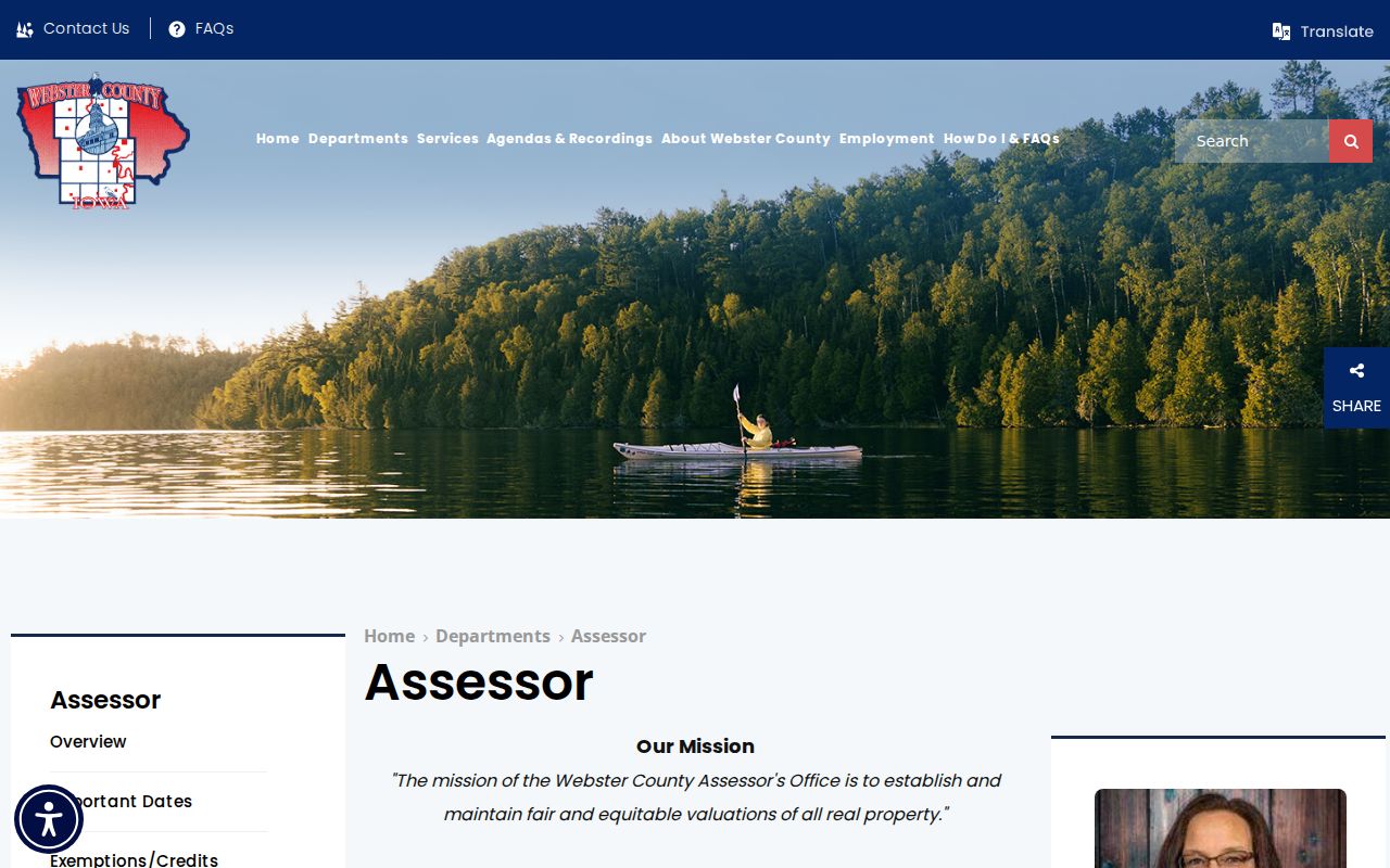
Save the row before changing terms. Deeper card details were not verified as guaranteed fields, so call the Assessor at 515-576-4721 when a label is unclear. The Webster County Assessor page gives the official route.
Fort Dodge Records by Street
No single Fort Dodge street directory contains every owner, voter, occupant, permit, and past household. Match each source to the claim. The city can supply an existing project or permit record, but Iowa Chapter 22 does not require an office to create a new property history.
| Source | Keeper | What it establishes | Access |
|---|---|---|---|
| Assessment roll | County Assessor | Parcel, ownership label, address, value context | Beacon, office, phone |
| Parcel map | County GIS | Mapped parcels and broad geography | Beacon, static maps |
| Land documents | County Recorder | Parties, date, instrument, legal description | Portal, counter, mail, phone |
| Election records | Auditor and Iowa SOS | Individual status or authorized list geography | Lookup or request |
| City files | Fort Dodge custodian | Existing projects, permits, and council files | CivicWeb or request |
| Period sources | Library, LOC, SHSI | Dated names, lots, uses, and buildings | Online, library, archive |
The current parcel is the crosswalk. Its legal description may survive street spelling or numbering changes. A dated directory can connect a person with an address for one year, but it cannot prove current residence.
Map Fort Dodge Parcel Clues
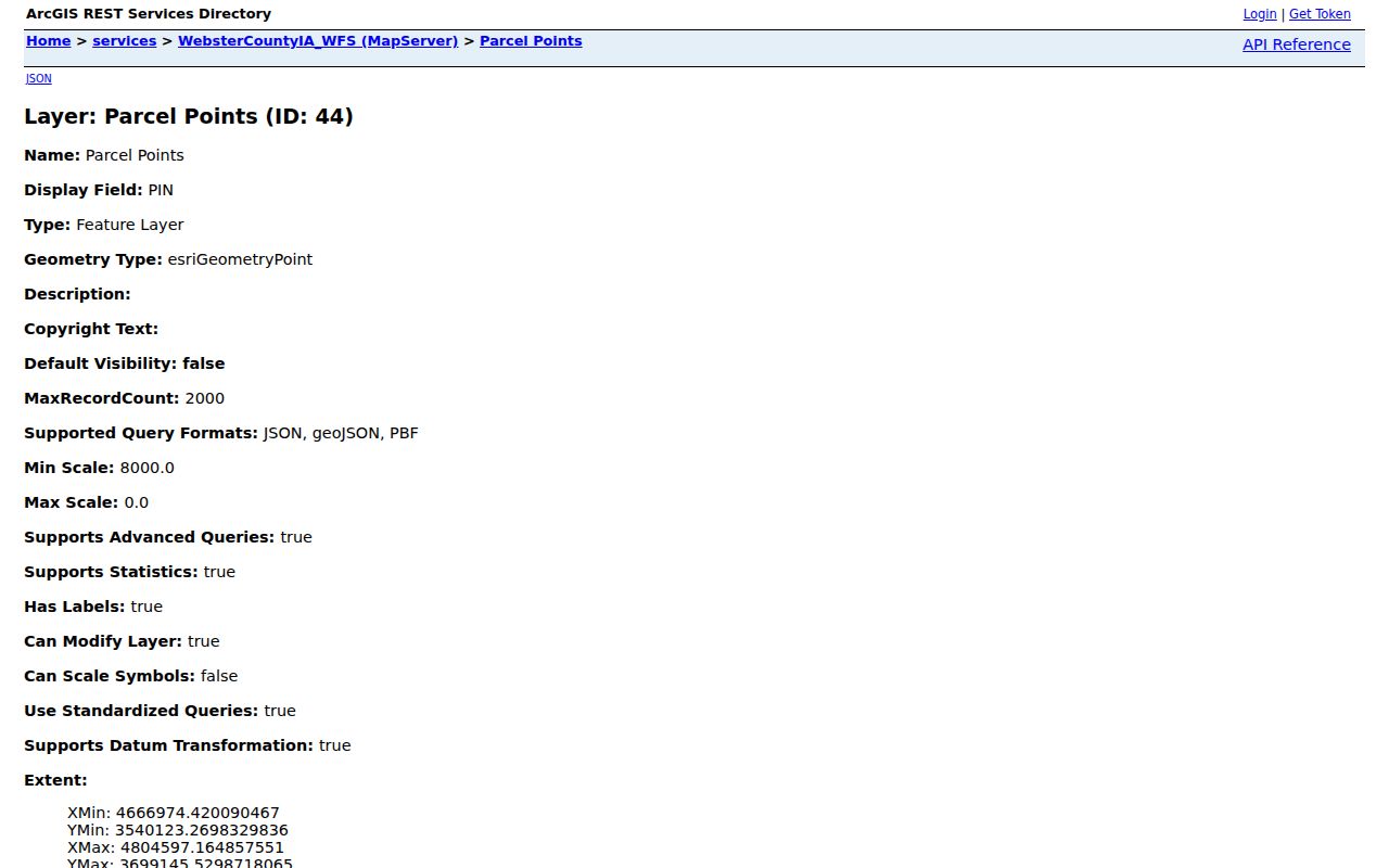
The Beacon map supports a visual scan from one selected parcel to the next. Record the portal date, search term, parcel ID, zoom context, and IDs clicked around it. Research did not confirm a Webster-specific buffer or automatic adjacency export, so manual review is the supported method. The Schneider service is labeled Parcel Points and exposes point labels and PIN fields. It is not a full legal parcel polygon.
The Webster County parcel-point service shows why GIS needs context.
The Iowa DOT map shows roads, highways, waterways, sections, and corporate limits. County township maps aid orientation but are not surveys. Never treat a mapped point as a certified boundary.
Read Fort Dodge Street Terms
Address systems use similar words for different facts. Define them before combining modern and historical street directory records.
- Parcel
- A mapped and assessed unit with a county key. One address may connect to several parcels.
- Situs address
- The property's location label, which can differ from a mailing address.
- Plat
- A recorded drawing that divides land into blocks, lots, and streets.
- STR
- Section, township, and range context used in land research.
- Criss-cross directory
- A directory arranged by street or phone rather than only by surname.
Ownership differs from occupancy. A trustee, estate, entity, or absent owner can appear on an assessment row. That does not identify everyone at the site.
Fort Dodge Street-to-Deed Chain
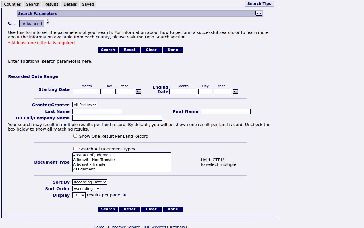
Open Iowa Land Records after Beacon supplies owner and parcel context. Search fields include recorded date range, grantor or grantee role, person or company name, document type, image-only choice, sorting, and wildcard. Fewer name terms may work better when punctuation is normalized.
Find the present owner as grantee. Save the grantor, date, reference, and legal description. Search that grantor as an earlier grantee and repeat while the land description matches. Deeds, mortgages, releases, easements, plats, affidavits, and estate or trust papers may explain gaps.
The official search screen displays those controls.
Webster County states that images and indexing run from 1999 forward, with indexing for 1994 through 1999. Earlier work may require book and page, an office copy, Auditor transfers, or State Historical Society records.
Webster Recorder Street Evidence
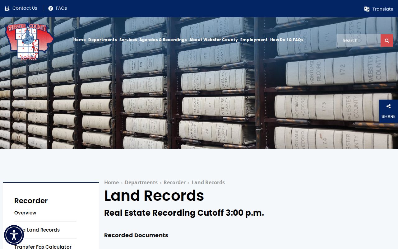
The Webster County land-record page is the fallback when an image is absent. Staff can route requests by party, date, type, instrument, book and page, or legal description. The phone is 515-576-2401, and the stated recording cutoff is 3:00 p.m.
Research found a $5 per-page recording fee plus a $2 transaction surcharge, a $5 auditor transfer fee per parcel, block, or section, and an older-copy reference of $0.50 per page. Confirm current price and payment before ordering. Portal access and certified copies are separate services.
The county page documents the office route.
The Recorder and Auditor are at 701 Central Avenue. Mail and phone requests work best with a precise record series and date range.
Date Old Fort Dodge Addresses
A modern address can fail in older sources. Test numeric and spelled forms, short and full suffixes, directions, hyphenated ranges, units, and prior numbers. Keep a log of each variation and result.
The 1912 Library of Congress Sanborn set has 33 sheets with blocks, alleys, footprints, materials, and labeled uses. A 1928 directory street-index example used in federal HABS work then ties several South Sixth Street numbers to named people and businesses. That is period evidence, not a current claim. The Fort Dodge city directory collections hold the deeper historical shelf.
A strong sequence is modern parcel, recorded plat or deed, dated Sanborn sheet, street-index entry, and newspaper page. If numbers conflict, the legal description and dated citations show where the mismatch began.
Note: A Sanborn footprint can date building context, but it cannot prove title or identify every person who lived there.
Fort Dodge Address Boundaries
Postal, parcel, voter, and municipal systems answer different questions. USPS confirms delivery format. Beacon shows assessment geography. The voter lookup requires first name, last name, and five-digit ZIP, so it is not an open street browse. Formal lists have permitted-use rules.
Contact the Webster County Auditor and Commissioner of Elections for election and precinct routing. Never treat a voter address as a deed, a postal city as a city boundary, or a ZIP as a parcel map.
The main checked Fort Dodge postal ZIP was 50501, but USPS validation remains address-specific. A by-street result is stronger when ZIP, city label, corporate-limit map, and street number agree.
Fort Dodge Street Record Limits
Public address records do not form a full roster of people at a site. Assessment and deed systems focus on property interests. Directories and censuses are dated snapshots. Voter access is governed by Iowa law, and Safe at Home participants may use substitute addresses. Never try to reverse a protected address or fill a private gap by guessing.
Existing permits, projects, inspections, or council actions may be available through CivicWeb, the City Clerk, or a focused Chapter 22 request. Requests may be made in person, writing, by phone, or electronically, subject to exceptions and reasonable costs. An office need not create a custom street history.
Lawful use. Use Fort Dodge street records for family history, property research, civic review, and personal safety. Never use an address trail to stalk, harass, intimidate, or harm anyone.
For title, ask the Recorder. For an assessment label, ask the Assessor. For an old household, document the year and source rather than implying present residence.
Fort Dodge Street Access Channels
A complete Fort Dodge street directory inquiry should not end when a portal has no image or returns an unclear row. The Assessor, Recorder, Auditor, and Clerk of Court serve researchers at the Webster County courthouse at 701 Central Avenue. The Assessor can explain a parcel or assessment label. The Recorder can retrieve an existing instrument by its reference, while the Auditor keeps real-estate transfer records and administers local elections. County pages repeatedly list weekday hours of 8:00 a.m. to 4:30 p.m., but schedules should be confirmed before a visit. The land-record recording cutoff is 3:00 p.m.
Phone and mail requests work best when they begin with one street address, a parcel ID when known, party names, an approximate date range, and the exact record type. The Assessor's number is 515-576-4721, the Recorder's is 515-576-2401, and the Auditor's is 515-573-7175. If Iowa Land Records shows an index entry without an image, save its instrument or book-and-page reference before calling. For pre-1994 material, ask whether the proper next step is an older Recorder book, an Auditor transfer series, or a State Historical Society holding.
Municipal evidence follows a separate route. CivicWeb searches Fort Dodge agendas, minutes, ordinances, and reports. Search both the street and a project term because an address may appear in an attachment rather than a meeting title. No verified public citywide permit index was found. For an existing permit, inspection, right-of-way, engineering, or project record, make a focused request to the City Clerk or the relevant department. State the address, approximate dates, record type, and desired format. Iowa Chapter 22 supports in-person, written, phone, and electronic requests, subject to exceptions and reasonable fees, but it does not require staff to build a new street history.
Historical access also has web, counter, and staff-assisted layers. Fort Dodge Public Library reports local newspapers reaching 1861 and Messenger microfilm from 1872 through 2019, along with city directories, plat maps, yearbooks, indexes, and a microfilm reader-printer. Some post-1924 scans may be limited to library computers or Wi-Fi. Remote researchers can give staff a name and a date, month, or year. The Webster County Historical Society room inside the library is volunteer run and may require an appointment. For early property work, the state archive's Webster County table identifies deeds, town lots, homesteads, and Auditor transfers by their actual date ranges.
Keep the access trail with the result. Note which portal, office, map, directory year, or archive series was checked and when. A missing online hit should be recorded as an access gap, not treated as proof that the address, deed, or household never existed.