
Fort Dodge Neighbors by Source
One Fort Dodge address can be studied through several official layers. Beacon is the practical parcel map and assessment index. Iowa Land Records confirms recorded instruments. County election material describes precinct geography, while city council and project documents explain public action around a place. Historical maps and directories can show an older block. Each source proves something different, and none is a complete roster of the people now inside nearby homes.
| Source | What It Shows About a Block | Access |
|---|---|---|
| Webster County Beacon | Mapped parcel, address, ownership, parcel and alternate IDs | Free public portal |
| Iowa Land Records | Recorded deeds and other instruments tied to owners | Free search; images vary |
| County election records | Precinct and election geography, not a household roster | Official pages and regulated requests |
| Fort Dodge CivicWeb | Agendas, reports, projects, votes, and public documents | Searchable city portal |
| Sanborn maps and directories | Past buildings, lots, street forms, and occupants | Library and Library of Congress |
An assessor owner may receive mail elsewhere, and a nearby resident may not own the parcel. A deed can transfer title without identifying every person at the address. Voter information has its own lawful-use rules and time limits. Label the source as owner, recorded party, voter record, civic participant, or historical occupant instead of blending all labels into “neighbor.”
Read Fort Dodge Parcel Labels
Beacon offers search modes for name, address, parcel ID, alternate ID, and a general search. Its result row can display parcel, alternate ID, address, ownership, city, area, state, assessed value marked ASV, reference number, and STR. STR means the section-township-range land reference. Save the parcel ID and the exact field labels before opening the map.
- Parcel
- A county assessment unit with its own identifier; it may not match one street address perfectly.
- Situs address
- The physical location recorded for the parcel, which can differ from the owner's mailing address.
- Assessment
- A value and property record used for tax equity, not proof of legal title.
- Recorded instrument
- A deed, easement, lien, plat, or other document filed with the Recorder.
The county assessor explains that values serve assessment purposes and are not the tax levy. Confirm legal ownership through Recorder records. The technical Webster parcel-point service also exposes GIS points, but it is not a full legal parcel polygon or survey.
Fort Dodge Neighbors Need Four Maps
A block can sit inside several systems at once. The parcel map shows assessed land units. A precinct map supports election administration. A council ward connects the place to city representation. USPS assigns delivery geography. Their lines answer different questions and should not be used as substitutes for each other.
| Boundary | What It Organizes | Use |
|---|---|---|
| Parcel | Land and assessment record | Identify adjoining assessed tracts |
| Precinct | Election administration | Check polling geography |
| Council ward | City representation | Find public meetings and elected district |
| Postal ZIP | Mail delivery | Validate a mailing address |
Webster County township and precinct PDFs help with broad orientation, while Beacon is the parcel tool. The static maps carry dates and disclaimers. Neither kind is a legal survey. This distinction prevents a nearby line on a map from becoming an unsupported claim about Fort Dodge neighbors.
Note: A map shows spatial context, not friendship, family ties, shared activity, or who was inside a home on a given day.
Map a Fort Dodge Block
Start with one exact address, not a surname. Search it in Beacon and record the matching parcel ID, situs line, source date, and owner field. Open the parcel map, zoom only far enough to see the immediate block, and click the parcels that physically touch or face the starting parcel. The research did not confirm a Webster-specific buffer or adjacency button, so do not promise one.
- Search the street number and name in Webster County Beacon. Confirm the city and parcel identifier.
- Open the map and inspect adjoining parcels one at a time. Keep both street and alley sides in view.
- Write each owner field exactly as labeled. Do not turn a mailing match into proof of occupancy.
- Use Iowa Land Records only when title or a deed date matters. Preserve the instrument reference.
This creates a limited block worksheet, not a bulk people list: parcel ID, legal or STR reference, situs address, map source and date, owner label, deed instrument and date, plus any unresolved gap. For a full road-length chain, use the Fort Dodge street directory workflow.
Confirm Fort Dodge Neighbor Ownership
Beacon supplies assessment context. Title is confirmed through recorded documents. Iowa Land Records can search by recorded date range, grantor or grantee role, party name, document type, image availability, and sort order. A grantor transfers an interest; a grantee receives one. Fewer name terms often work better, and the official help supports an asterisk wildcard.
For Webster County, images and index coverage are stated from 1999 forward, with indexing from 1994 through 1999. Earlier documents require a Recorder request. Ask for a known owner name, approximate date, document type, and parcel or legal description. That fallback matters because an assessment row cannot prove the full chain of title.
Keep dates close to every result. A deed says that a recorded transfer occurred. It does not prove who occupies the property now, nor does it identify every person associated with the address.
Fort Dodge Block Civic Records
Neighborhood context often appears in public city records rather than a formal association directory. Fort Dodge CivicWeb provides agendas, reports, meeting archives, E-Updates, attendance or vote material, and citizen forms. Search a street, project name, ordinance, or date, then keep the document title and meeting date. The City Clerk is the office fallback for council agendas, minutes, resolutions, ordinances, and selected permits or licenses.
City Clerk
Use for ordinances, resolutions, council minutes, and city-held public documents tied to a block.
Webster County Assessor
Use for parcel identity and assessment fields. Ask when a Beacon result or map label is unclear.
Webster County Recorder
Use for deeds, plats, easements, liens, trade names, and copies outside verified portal coverage.
No verified official Fort Dodge neighborhood-association roster was found in the research. Do not invent an umbrella group or imply that a public roster exists. City meeting records, named projects, Clerk files, and local institutions are the documented community layer.
Business Names Around Fort Dodge Blocks
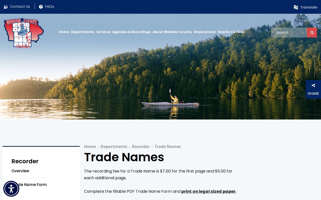
Some nearby names belong to a trade or organization rather than a household. The Webster County Recorder trade-name page is an official route for local trade-name records. The successful image assigned to the neighbors page shows that county source.
Iowa Secretary of State entity records may add an entity number, status, former name, agent, officers, and filings. These are organization facts. They can clarify why a name appears in a parcel or city document without proving that any listed person resides at the address.
A Changing Fort Dodge Neighborhood
The Central River District Phase 2 creates a current document trail for part of Fort Dodge. The city identifies 2026 and 2027 project activity, so agendas, engineering records, bid materials, council action, and updates can explain changes near a block over time. This is a strong civic clue because each item has an issuing body and date.
Search the project name and nearby street terms in CivicWeb. Record the project-page date, meeting date, report title, and map or plan label. A project boundary is not a parcel boundary, and a planned improvement is not proof that work is complete. Current public works files add neighborhood context without identifying private residents.
Trace Historic Fort Dodge Neighbors
The 1912 Fort Dodge Sanborn map set contains 33 sheets that show period block and building footprints. It can establish an older structure, lot arrangement, use, or street form before any name search. Fort Dodge directories and newspapers can then add dated occupant or event evidence.
The Fort Dodge Public Library local-history collection offers directories, plat maps, yearbooks, newspaper microfilm, indexes, digitized papers, and staff help. The Library of Congress directory reel confirms Fort Dodge telephone directories from 1923 through 1944. Pair the map sheet, directory year, newspaper date, and modern parcel as separate rows. Do not assume that an old lot line or house number survived unchanged.
Historical neighbors should remain historical. A 1912 building or 1928 directory entry is valuable for genealogy and block history, but it says nothing about who is present now.
Compare Fort Dodge Neighbor Tools
Official records and commercial neighbor tools serve different roles. Official sources identify the keeper, purpose, date, and field labels. Commercial products may combine old, licensed, and public data without making the source boundary clear. Use the category only as an unverified lead, never as the final source.
| Source Type | Strength | Main Limit |
|---|---|---|
| Official parcel or deed record | Named custodian and defined fields | Ownership does not prove occupancy |
| Official city or election record | Dated civic or geographic context | Purpose and access rules are narrow |
| Commercial neighbor tool | May offer a quick lead | Sources, dates, and joins may be unclear |
For a meaningful fact, return to the Assessor, Recorder, City Clerk, election office, library, or archive. Keep the official wording, and leave a gap unresolved when the custodian does not expose the record.
Fort Dodge Neighbor Privacy Limits
A neighbor lookup cannot lawfully fill every blank. Parcel data does not name all occupants. Utility and delivery records are not general public directories. Juvenile and confidential court records remain closed. Iowa voter information is governed by permitted-use rules, and a formal list request records the intended use. Protected records should remain protected.
Iowa Chapter 22 guidance explains public-record access and exceptions. The assigned capture below marks that official boundary for Fort Dodge neighbors research.
Lawful use. Research Fort Dodge neighbors only for lawful personal, historical, or civic purposes. Never use records to watch, stalk, harass, threaten, or harm a person.
Iowa Safe at Home participants may use a substitute address and confidential voter registration. Do not try to reverse that protection through parcel, court, voter, business, or map records. When a source omits a field, treat the omission as a boundary rather than an invitation to guess.